Green areas: the Madrid mountains
Mountains, villages and historic towns less than an hour from the capital.
The essentials
- The Sierra de Guadarrama is less than an hour from Madrid and has been a National Park since 2013.
- Its highest peak, Peñalara, reaches 2,428 m.
- You can get there by commuter train (lines C-8 and C-9) and by bus from Moncloa and Madrid.
- Take warm clothes all year round: mountain weather changes quickly.
Sierra de Guadarrama National Park
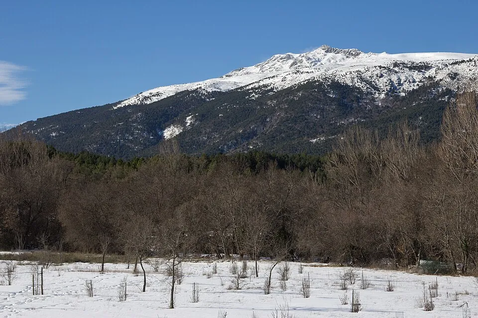
Declared a national park in 2013, it protects the valleys, glacial lakes and Scots pine forests of the range. It is the mountain destination closest to the capital.
Cercedilla and Navacerrada
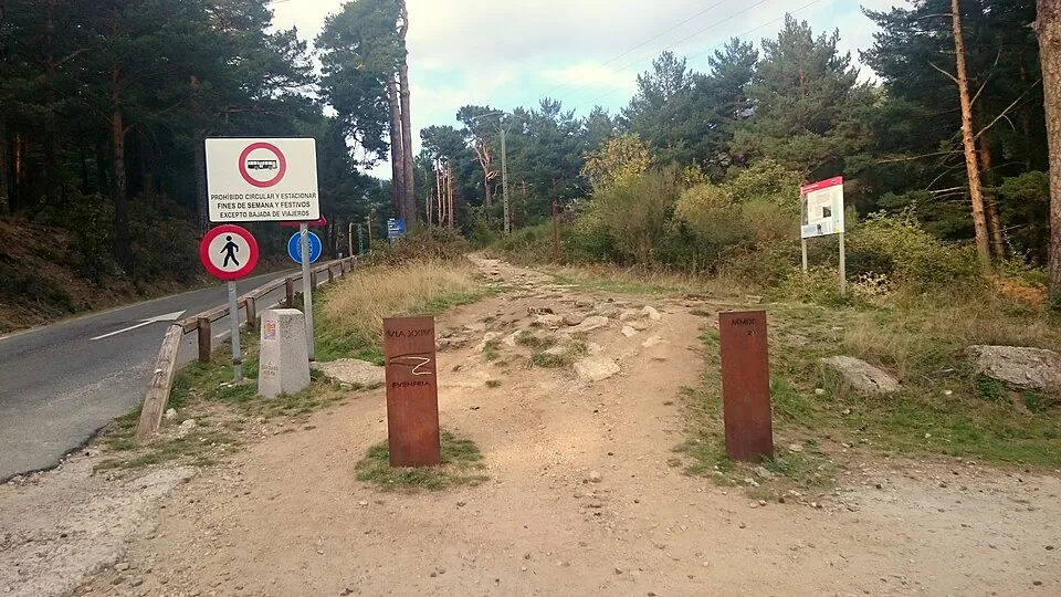
Cercedilla is the base for many routes, with a commuter train to the village, and for the Roman road of the Fuenfría valley. From there the C-9 line climbs to Cotos, and the Navacerrada pass (1,858 m) is the most popular area for walking and snow.
La Pedriza
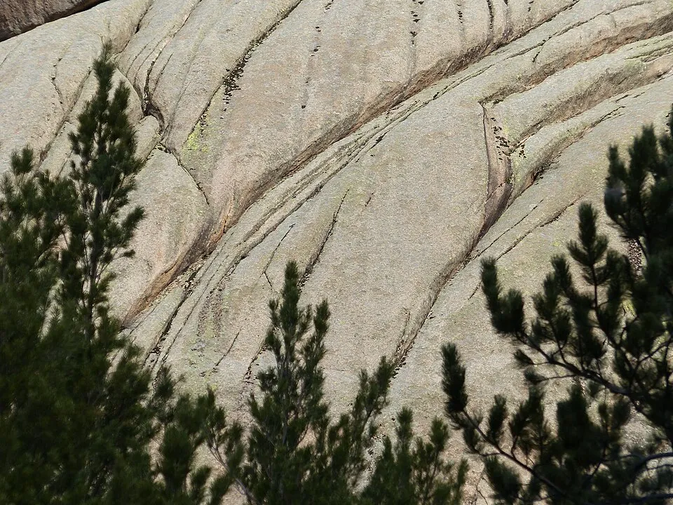
A granite massif next to Manzanares el Real with routes for every level and a long climbing tradition.
Manzanares el Real
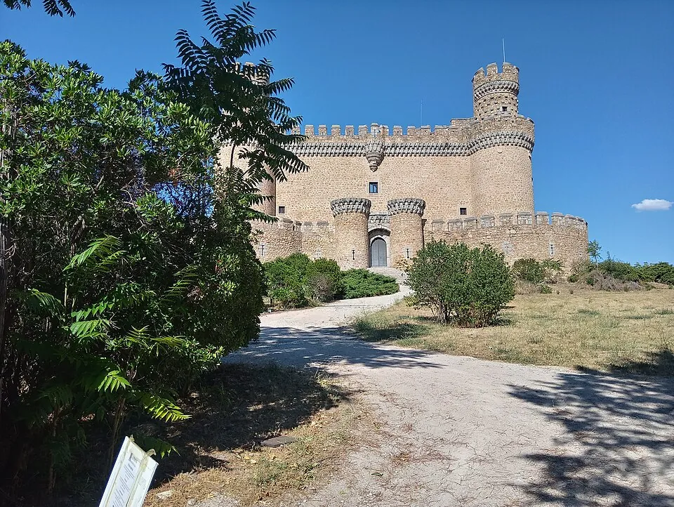
Its 15th-century Mendoza castle is in very good condition and can be visited inside.
Rascafría and El Paular
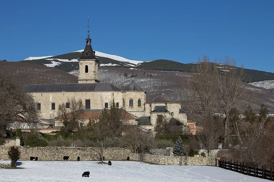
The Lozoya valley, with the Santa María de El Paular monastery and paths along the river.
Nearby towns and cities
- El Escorial: monastery and royal site, a World Heritage Site.
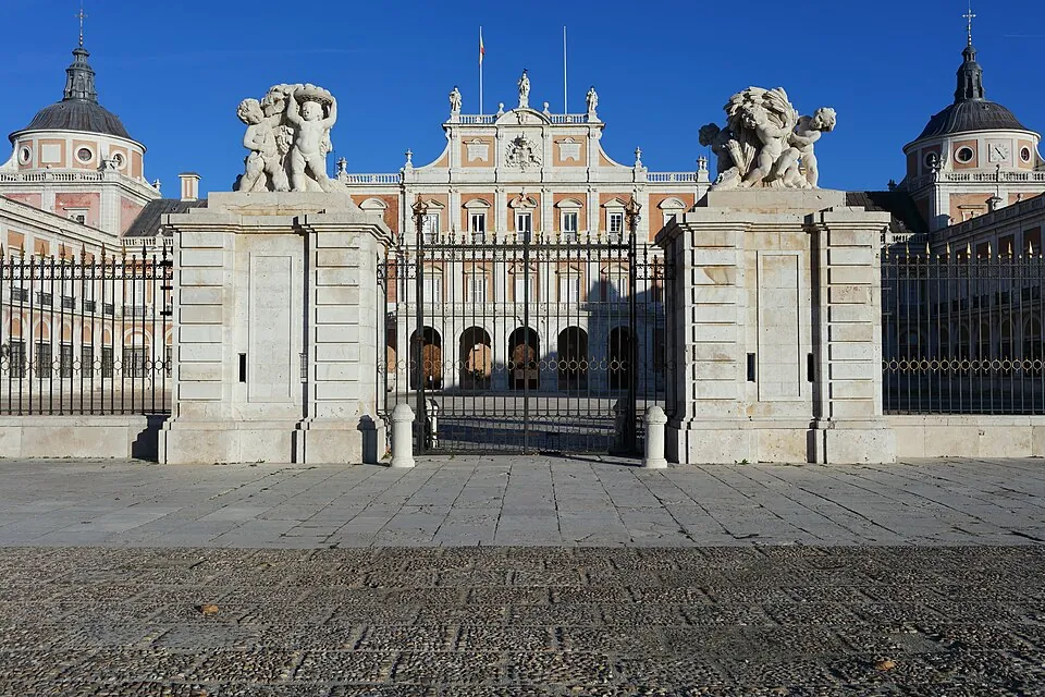
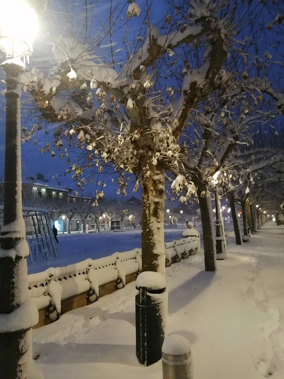
- Aranjuez: cultural landscape, palace and gardens.
- Alcalá de Henares: university city, a World Heritage Site.
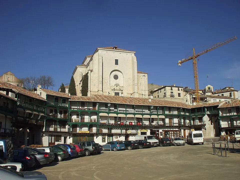
- Chinchón: its arcaded Plaza Mayor.
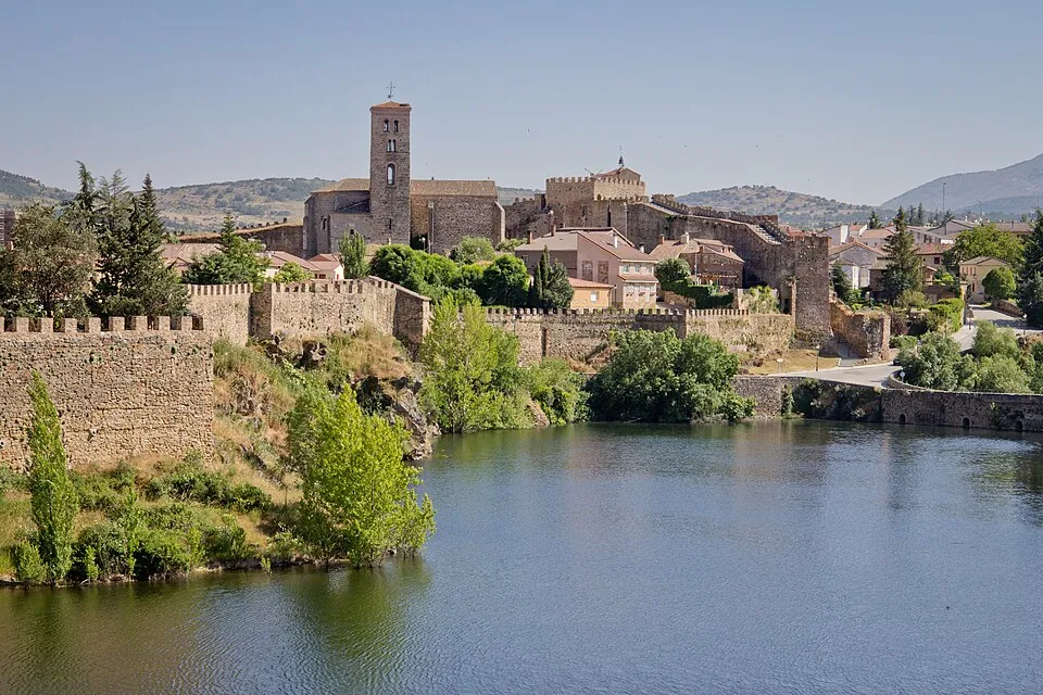
- Buitrago del Lozoya: medieval walls.
How to get there
The C-8 and C-9 commuter lines leave from Chamartín and Atocha; there are intercity buses from Moncloa and Plaza de Castilla. Check times with the Regional Transport Consortium.
More about transport in Getting there.
Tips
- Check the forecast and park notices beforehand.
- Some accesses require booking or have a limited capacity.
- Take water and mountain footwear.